


Description
Are you looking for high-quality Outline Maps with National Flags to make your projects visually engaging and informative? This premium collection is crafted for educators, content creators, and professionals who need accurate, editable, and visually appealing maps.
Why Choose This Map Collection?
🔹 Multiple File Formats for Flexibility
Our maps come in AI, EPS, PNG, and SVG, making them fully compatible with Adobe Illustrator, Sketch, and other design tools. Whether you’re working on a documentary, presentation, or website, you’ll find the right format for your needs.
🔹 High-Resolution & Editable Design
Each map is designed with precise details and vibrant national flags, ensuring a polished and professional look. Customize them easily to fit your project’s theme and style.
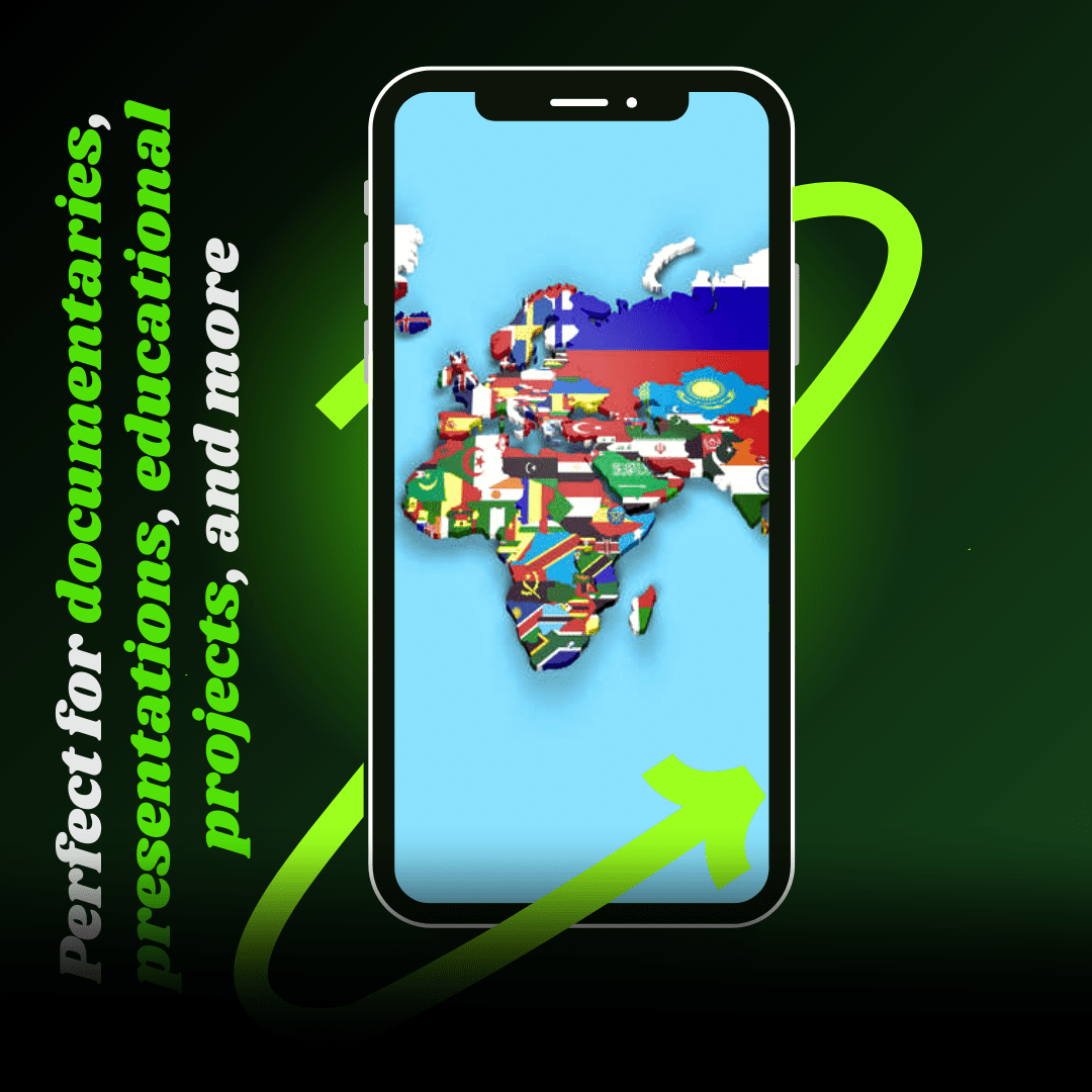
🔹 Perfect for Various Uses
Whether you’re creating educational materials, business presentations, travel guides, or interactive content, these maps offer the ultimate storytelling tool.
🔹 Designed for Simplicity & Engagement
No steep learning curve! These maps are intuitive and easy to use, even for beginners. Just drag, drop, and customize without hassle.
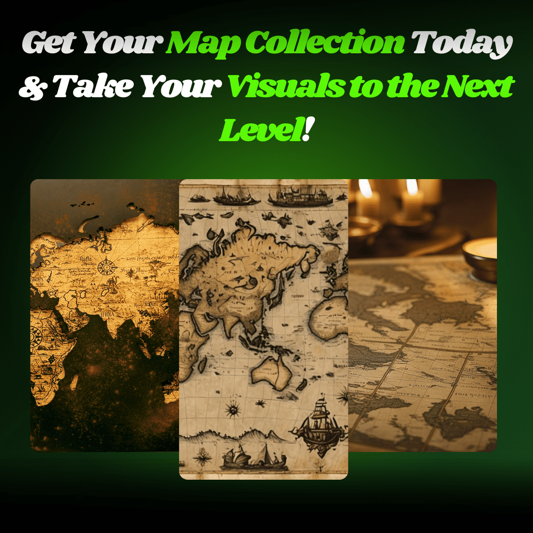
Transform Your Content Today!
Get instant access to Outline Maps with National Flags of All Countries and elevate your documentaries, lessons, and presentations with high-quality, editable maps. Download now and start creating engaging visual stories!


Reviews
There are no reviews yet.